")


July
Thursday
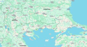
Büyükmandıra - Buyukmandira - Мандра - Μπουγιούκ Μαντηρά
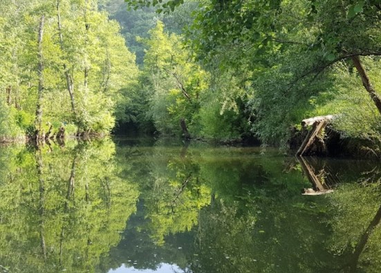
Buyukmandira town is located about 1 km south of the Ergene River, on a flat area. Additionally, there is a stream called Camasir Lake to the west of the town. To the east of the town, there is a dry stream with a bridge. It is surrounded by good pastures with wide plains. To the east is the village of Sinanli, to the north is the village of Katranca, and to the south is the village of Lahana. Winters are very cold, dry, and generally snowy, while summers are very hot.
The name Mandira was given due to the town's involvement in dairy, cheese, and livestock activities. Initially named Mandira when it was established in 1877, the town grew with immigrants arriving in 1926, 1935, and 1951, and it was renamed Buyukmandira. A municipality was established in the town in 1955.
Buyukmandira
|
Buyukmandira Municipality
|
|
| Altitude | 40 m |
| Population 2025 | 3.308 |
| Telephone Area Code | 288 |
| License Plate Code | 39 |
| Postal Code | 39270 |
| Mayor of Buyukmandira | Ersan Colgecen |
| Update | |
| View | 10.629 |
Buyukmandira Statistics
Detailed statistical data of the Buyukmandira region are available on our pages.

Buyukmandira Population Information
Province, district, town, neighborhood, and village population information

Buyukmandira Migration Information
Immigration information received and given by Thracian settlements

Buyukmandira Economic Information
Detailed statistics on the livelihoods of the Thracian people

Buyukmandira Tourism Information
Tourism data of the Buyukmandira region

Buyukmandira Health Information
Health personnel statistics with birth and death information in Buyukmandira

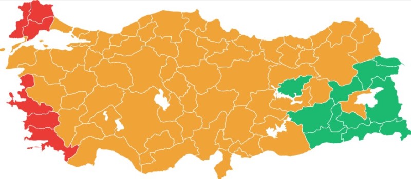
Buyukmandira Election Results
Results of the Turkish parliamentary general elections

Other Buyukmandira Statistics
Other statistics related to the Buyukmandira region
Buyukmandira Topics

History
History of Buyukmandira

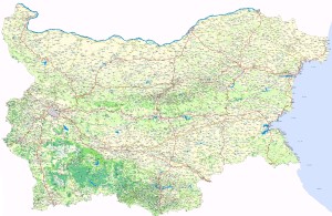
Geography
Geography of Buyukmandira

Education
Buyukmandira educational institutions

Administrative Status
Buyukmandira administrative administrations

Economy
Buyukmandira economy

Health
Buyukmandira health institutions

Transport
Buyukmandira transportation information

Press
Buyukmandira press organizations

Sport
Buyukmandira sports infrastructure and clubs

Celebrities
Celebrities born in Buyukmandira
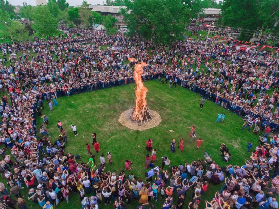
Buyukmandira Tourism Information
Updating
Data entry on our pages is ongoing and will be published as soon as possible.
Updating
Data entry on our pages is ongoing and will be published as soon as possible.
Updating
Data entry on our pages is ongoing and will be published as soon as possible.
Updating
Data entry on our pages is ongoing and will be published as soon as possible.
Buyukmandira Photos

Buyukmandira Transportation
Agayeri -
Cavuskoy -
Cengerli -
Cigdemli -
Dugunculu -
Erikleryurdu -
Ertugrulkoy -
Hazinedar -
Kadikoy -
Karabayir -
Karacoglan -
Karamesutlu -
Katranca -
Kuleli -
Kumrular -
Kuzucardagi -
Minnetler -
Mutlu -
Musellim -
Nacak -
Nadirli -
Oruculu -
Osmaniye -
Pancarkoy -
Sinanli -
Sofuhalil -
Tasagil -
Taskopru -
Terzili -
Yenikoy -
Yenimahalle