")


July
Wednesday
Kırklareli - Kirklareli - Лозенград - Σαράντα Εκκλησιές
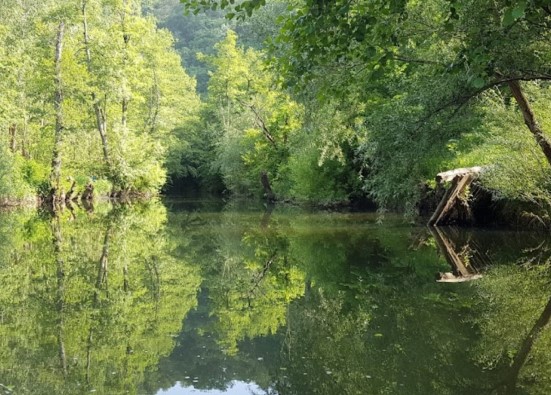
Kirklareli is a natural paradise among the provinces of Thrace where the natural structure is best preserved. The longoz forests, Istranca Yildiz Mountains, unpolluted and organic farming lands; the Thracian bee, the virgin shores on the Black Sea coast are just a few of Kirklareli's unique assets. Demographically similar to the Thrace average, Kirklareli differs significantly in terms of climate from Edirne and Tekirdag, resembling a Black Sea climate and boasting abundant natural resources.
Besides its natural beauty, Kirklareli is an important historical center, with traces of history from the Thracians to the Ottomans. The town center of Vize, with its ongoing excavation in the square, amphitheater, and streets, can rival ancient city centers like Ephesus. Demirkoy, where cannons were cast for Fatih's conquest of Istanbul, which started a new era, and Dupnisa Cave, Turkey's second largest cave, surrounded by ancient ruins, make Kirklareli an important historical and cultural center. The magnetic hill in Demirkoy, where vehicles ascend a small hill on their own, unique areas for bird watching and nature photography, and the wonderful sea make Kirklareli a major tourism destination.
Agriculture and animal husbandry are the most important sources of income for Kirklareli's residents. However, income from agriculture and animal husbandry is gradually decreasing each year; the amount of land available to farmers is decreasing, and a large portion of villagers are unable to make a living on their small plots, becoming detached from the land.
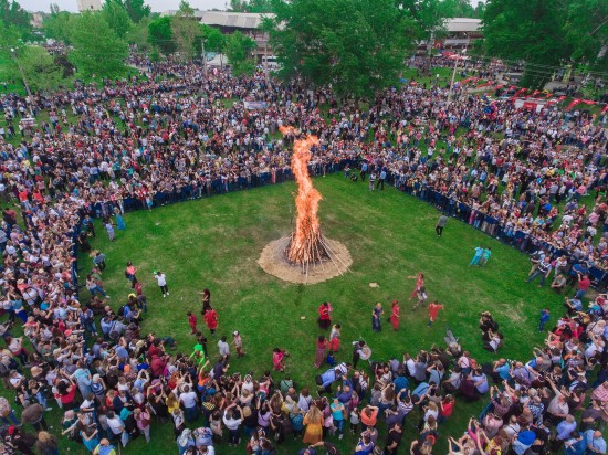
The introduction of high-value-added agricultural products to Kirklareli could offer a way out for those working in agriculture. Other notable features of the province include its areas suitable for organic farming, its extensive forest habitat, and its suitability for forest product production. A significant characteristic a visitor to Kirklareli's city center and districts will notice is its tranquility. For someone accustomed to daily life amidst the hustle and bustle of Istanbul, this silence can even be disturbing. The district of Vize, eager to capitalize on this characteristic, applied for "Cittaslow" (Slow City) and was accepted.
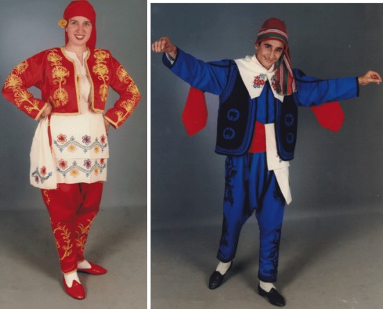
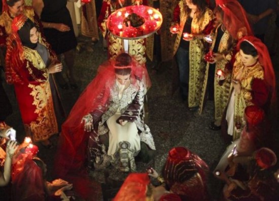
Kirklareli's demographics reflect those typical of Thrace. It is a province where immigrants constitute the majority and a large Romani population resides. The warmth, love of fun, and the Thracian charm, evident in Thrace, with their sentences ending in "be ya" without spelling out the "h" at the beginning of words, can also be seen in Kirklareli.
Kirklareli is a province with many ancient settlements notable for its prehistoric location. The first material documents relating to human existence in and around Kirklareli, understood to have been submerged for an extended period at the end of the Ice Age, reveal characteristics of the Neolithic period. Thrace, which later took its name from the first known settled tribes, maintained its partial or complete independence as small kingdoms or principalities, including Kirklareli, until the mid-Roman period.
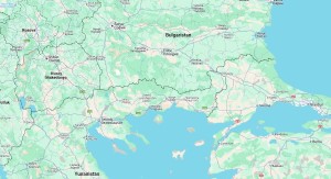
Kirklareli, which suffered numerous invasions during the Roman and Byzantine periods due to its role as a transitional region, first fell to the Ottomans in 1363, during the reign of Murad I. From this date on, Kirklareli experienced a long period of peace and was subjected to great torment and hardship during the Balkan Wars and World War I, before gaining its final freedom on November 10, 1922. Our province, located on the Istranca (Yildiz) Mountains and the Ergene Plain sections of the Marmara Region, is bordered by Bulgaria to the north, the Black Sea to the northeast, Istanbul to the southeast, Tekirdağ to the south and Edirne to the west. Its surface area is 6,550 square kilometers. The province has a 180-kilometer land border with Bulgaria and a 60-kilometer sea coast with the Black Sea.
The province has an altitude of 203 meters above sea level, and the north and east are mountainous and forested, while the other parts are generally flat. A continental climate generally prevails in the region. Winters are harsh and rainy, and summers are hot and dry.
Its main rivers are the Ergene River and the Rezve Stream. The vegetation is forested and steppe.
The population density of Kirklareli is 50. Until 1965, the density in Kirklareli was above the national average. This is because of the migration the province received from the Balkan countries through population exchange and immigration. Between 1940 and 1945, Kirklareli's population decreased due to World War II, and between 1950 and 1955, the population started to increase again with immigrant families coming from abroad. The population density, which was high until 1960, began to decrease after 1965 with the start of migration out of the province.
After its conquest, Kirklareli was governed as a sanjak for many years. During the reign of Sultan Abdülmecit, it was made a district, and this status continued until the 1877-1878 Russo-Turkish War. After the evacuation of the Russians, Kirklareli became a governorship. Administratively, it was first attached to the Rumelia Province, with its capital in Manastir, then to the Silistre Province, and later became a Liva of the Edirne Province.
Kirklareli became a province in 1924. Today, Kirklareli has seven districts: Babaeski, Demirköy, Kofcaz, Luleburgaz, Pehlivankoy, Pinarhisar, and Vize.
Kirklareli
|
Kirklareli Governorship
|
Kirklareli Municipality
|
| Area | 6.459 km² |
| Altitude | 210 m |
| Population 2025 | 379.595 |
| Telephone Area Code | 288 |
| License Plate Code | 39 |
| Postal Code | 39xxx |
| Governor of Kirklareli | Ugur Turan |
| Mayor of Kirklareli | Derya Bulut |
| Update | |
| View | 6.414 |
| District Populations Kirklareli (2025) | ||
|---|---|---|
| Order | Districts | Population |
| 1 | Luleburgaz | 157.136 |
| 2 | Kirklareli Center | 114.710 |
| 3 | Babaeski | 46.355 |
| 4 | Vize | 28.769 |
| 5 | Pinarhisar | 17.694 |
| 6 | Demirkoy | 9.364 |
| 7 | Pehlivankoy | 3.276 |
| 8 | Kofcaz | 2.291 |
| Total Population (2025) | 379.595 | |

Kirklareli Center

Luleburgaz

Pehlivankoy

Kirklareli Statistics
Detailed statistical data of the Kirklareli region are available on our pages.

District Populations Kirklareli
Province, district, town, neighborhood, and village population information

Kirklareli Migration Information
Immigration information received and given by Thracian settlements

Kirklareli Economic Information
Detailed statistics on the livelihoods of the Thracian people

Kirklareli Tourism Information
Tourism data of the Kirklareli region

Kirklareli Health Information
Health personnel statistics with birth and death information in Kirklareli

Kirklareli Election Results
Results of the Turkish parliamentary general elections

Other Kirklareli Statistics
Other statistics related to the Kirklareli region

Kirklareli Topics
All kinds of detailed information about Thracian settlements

History
History of Kirklareli

Geography
Geography of Kirklareli

Education
Kirklareli educational institutions

Administrative Status
Kirklareli administrative administrations

Economy
Kirklareli economy

Health
Kirklareli health institutions

Transport
Kirklareli transportation information

Press
Kirklareli press organizations

Sport
Kirklareli sports infrastructure and clubs

Celebrities
Celebrities born in Kirklareli
Kirklareli Tourism Information

Road Construction and Sewer Line Renewal Work Continues in Lüleburgaz
Lüleburgaz Municipality continues road construction, sidewalk repairs, and sewer line renovations in the İstiklal neighborhood. Mayor Murat Gerenli stated that the work is being carried out meticulously and will provide residents with more comfortable transportation once completed.

The Stream is Coming The Stream
The Stream Is Coming The Stream Yalelel Yalelel
Spread Your Sand Yalelellim
Take Me Creek Yalelel Yalelel
To Where Tomorrow Is Yalelellim
Oh Oh Oh
Time From Time
When Is Our Wedding Yalelellim
I Teeth the Pear Yalelel Yalelel
I Silver Its Handle Yalelellim
The Name of My Beloved Yalelel Yalelel
I Embroider It on My Handkerchief Yalelellim
Oh Oh Oh
Time From Time
When Is Our Wedding Yalelellim
Pear On The Branch One or Two Yalelel Yalelel
Look Dear Twelve Yalelellim
Inside Twelve Yalelel Yalelel
The First One Is Mine Yalelellim
Oh My Oh My
Time Time Time
When is our wedding Yalelellim
Updating
Data entry on our pages is ongoing and will be published as soon as possible.
")
Sisecam Flat Glass (Trakya Glass)
With its advanced technology and innovative approach, it is a pioneer in flat glass production both in Turkiye and worldwide. Having started flat glass production in 1961, it quickly assumed a leading role in the sector, and in 1981, it became the first flat glass manufacturer to use modern float technology in its Luleburgaz factory for the Eastern European, Balkan, Middle Eastern, and North African regions. Today, with production facilities in 4 continents and 6 countries, it operates as the 2nd largest flat glass producer in Europe and the 5th largest in the world.
Kirklareli Photos


