")


May
Friday
Kırcasalih - Kircasalih - Залъф - Κιρτζαλί
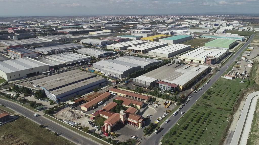
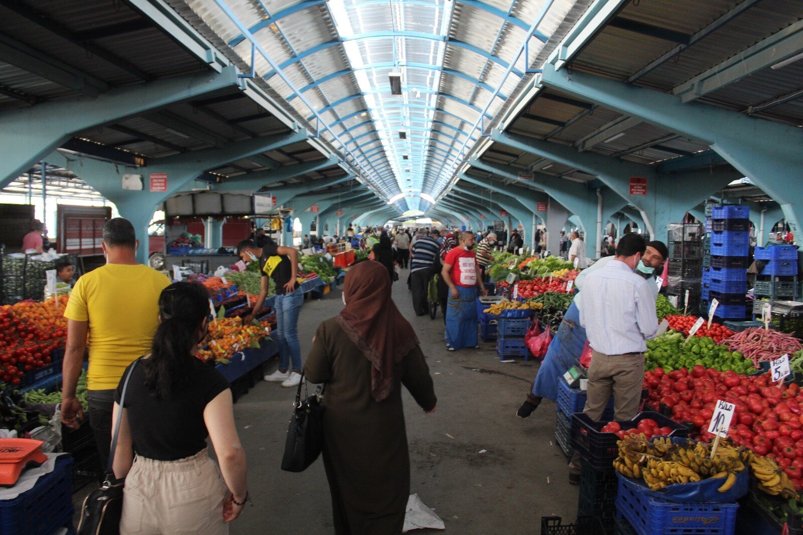
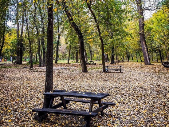
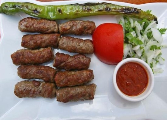
Kircasalih Town is a charming town in the Uzunkopru district of Edirne. It is located between Havsa and Uzunkopru. The people mainly earn their living through agriculture. A large amount of grapes, wheat, rice, and sunflower are grown in the town.
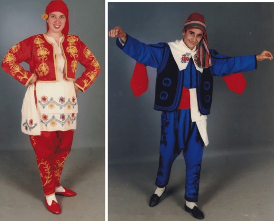
The old name of Kircasalih was 'Zaluf,' and it was known by this name during the Ottoman period. Until the early 20th century, the town was a Greek-Bulgarian settlement. With the establishment of the Republic of Turkey, a Muslim population consisting of Pomaks, Citaks, Yoruks, and Balabanians from the Balkans was settled in the town.
Kircasalih
|
Kircasalih Municipality
|
|
| Altitude | 100 m |
| Population 2024 | 2.481 |
| Telephone Area Code | 284 |
| License Plate Code | 22 |
| Postal Code | 22260 |
| Mayor of Kircasalih | Samet Ertas |
| Update | |
| View | 8.142 |
Kircasalih Statistics
Detailed statistical data of the Kircasalih region are available on our pages.

Kircasalih Population Information
Province, district, town, neighborhood, and village population information

Kircasalih Migration Information
Immigration information received and given by Thracian settlements

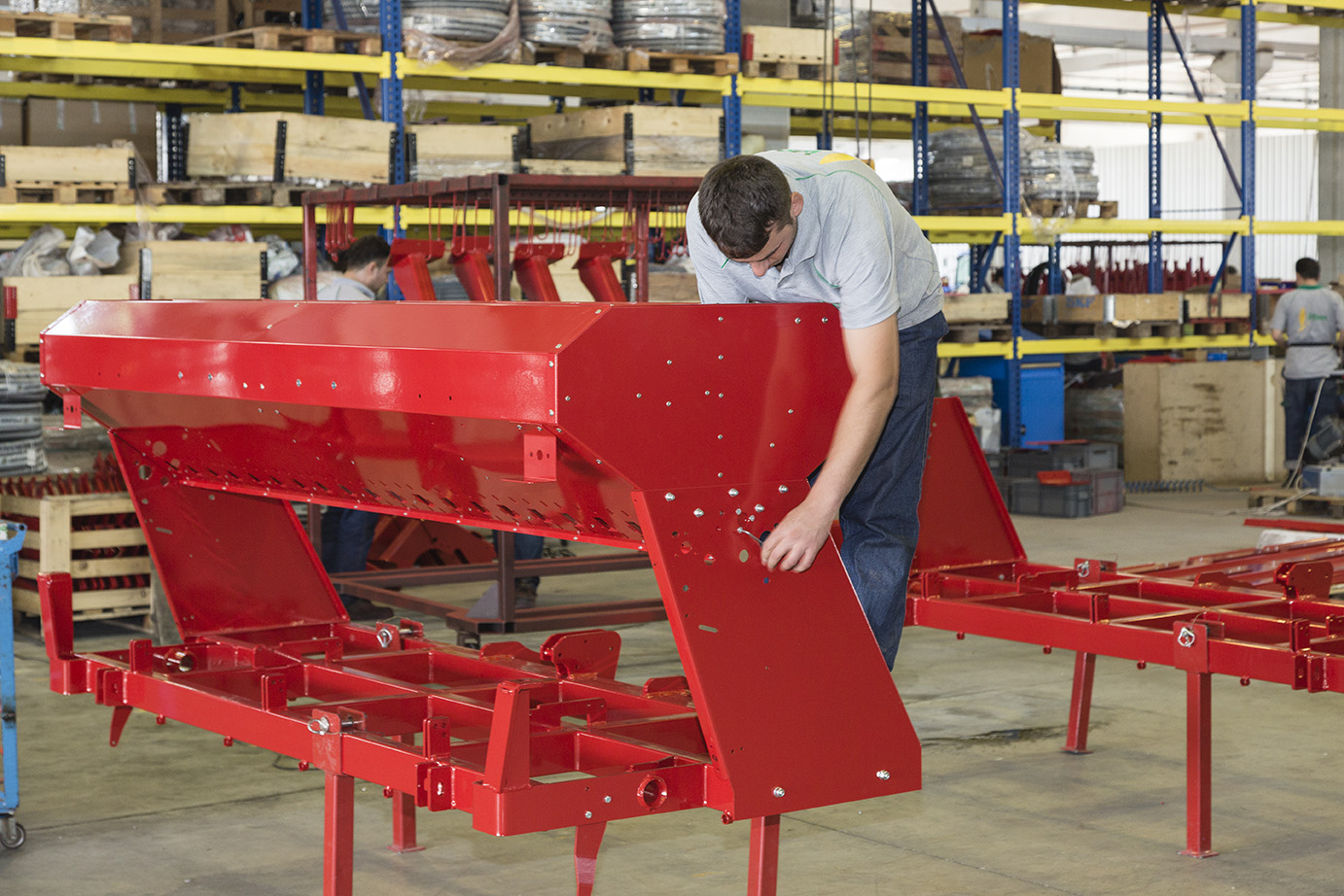
Kircasalih Economic Information
Detailed statistics on the livelihoods of the Thracian people

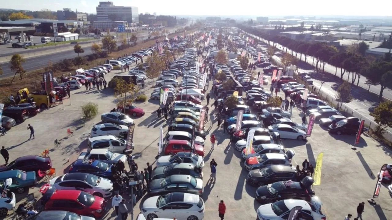
Kircasalih Tourism Information
Tourism data of the Kircasalih region

Kircasalih Health Information
Health personnel statistics with birth and death information in Kircasalih

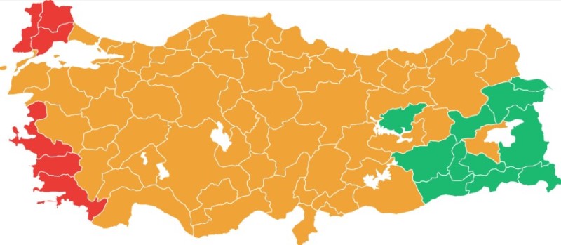
Kircasalih Election Results
Results of the Turkish parliamentary general elections

Other Kircasalih Statistics
Other statistics related to the Kircasalih region
Kircasalih Topics

History
History of Kircasalih

Geography
Geography of Kircasalih

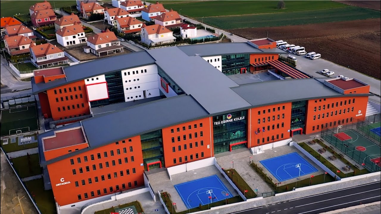
Education
Kircasalih educational institutions

Administrative Status
Kircasalih administrative administrations

Economy
Kircasalih economy

Health
Kircasalih health institutions

Transport
Kircasalih transportation information

Press
Kircasalih press organizations

Sport
Kircasalih sports infrastructure and clubs

Celebrities
Celebrities born in Kircasalih
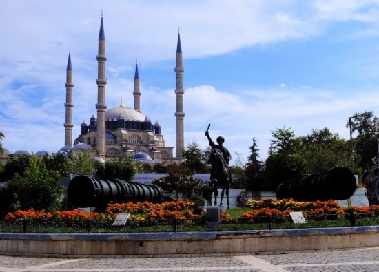
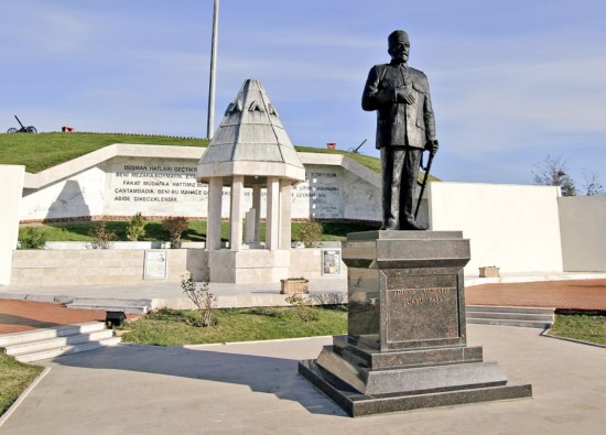
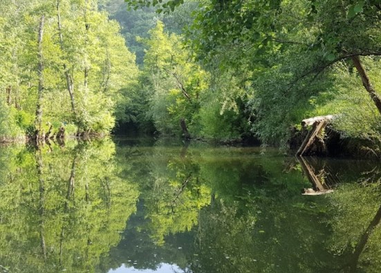
Kircasalih Tourism Information
Updating
Data entry on our pages is ongoing and will be published as soon as possible.
Updating
Data entry on our pages is ongoing and will be published as soon as possible.
Updating
Data entry on our pages is ongoing and will be published as soon as possible.
Updating
Data entry on our pages is ongoing and will be published as soon as possible.
Kircasalih Photos

Kircasalih Transportation
Alıc -
Altinyazi -
Aslihan -
Balaban -
Balabankoru -
Basagil -
Bayramli -
Beykonak -
Bildir -
Cakmak -
Cali -
Cavuslu -
Ciftlik -
Cobanpinar -
Danisment -
Degirmenci -
Derekoey -
Elmali -
Eskikoy -
Gazimehmet -
Gemici -
Hamidiye -
Hamitli -
Harmanli -
Hasanpinar -
Kadiagili -
Kadikoy -
Karaburcek -
Karapinar -
Karayayla -
Kavacik -
Kavakazma -
Kirkkavak -
Kirkoy -
Kiremitcisalih -
Kurdu -
Kurtbey -
Kurttepe -
Maksutlu -
Malkoc -
Meseli -
Muhacirkadi -
Omerbey -
Saclimusellim -
Salarli -
Sazlimalkoc -
Sigircilik -
Sipahi -
Sultansah -
Suleymaniye -
Turnaci -
Turkobasi -
Yagmurca